
Blog
Drone Mapping for Agriculture
-

Admin
- March 25, 2025
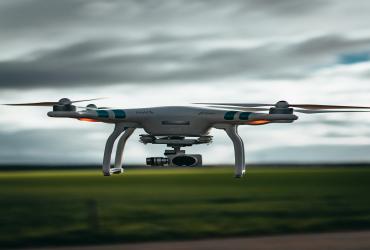
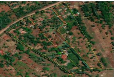
Drones have revolutionized the surveying industry by offering faster, more accurate, and cost-effective mapping solutions.
Through high-resolution aerial imagery, drones can survey large and hard-to-reach areas in hours instead of days, providing detailed data for land planning, construction, agriculture, and environmental monitoring.
Their ability to create 3D models, contour maps, and orthophotos has dramatically increased efficiency, safety, and decision-making across many industries.
Leave a Comment