Blog
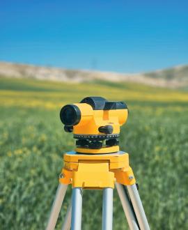
Remote Sensing
The collection of land data from satellite or aerial imagery.
Remote sensing involves acquiring images and data of the Earth's surface without physical contact, typically via satellites or drones. In Kenya, it’s used for land cover mapping, agriculture monitoring, deforestation tracking, and urban growth analysis. The data supports sustainable land use and conservation efforts.